Geodetic Surverying
Geodetic surveying is related to all questions starting with "where". To determine the geographic location (e.g. in latitude and longitude) and geospatial relationships (e.g. distance and directions from A to B) of any object on earth precisely, we need to define the geodetic reference system by measuring the size, shape and gravity of the earth. In order to realize such reference systems, positioning infrastructure including triangulation stations, benchmark, satellite reference stations, etc. is indispensable. Land surveyors play a key role in the development and management of the positioning infrastructure. Numerous applications using satellite positioning or various IoT sensors, from measuring the height of a building to locating a lost hiker, relied on the positioning infrastructure.

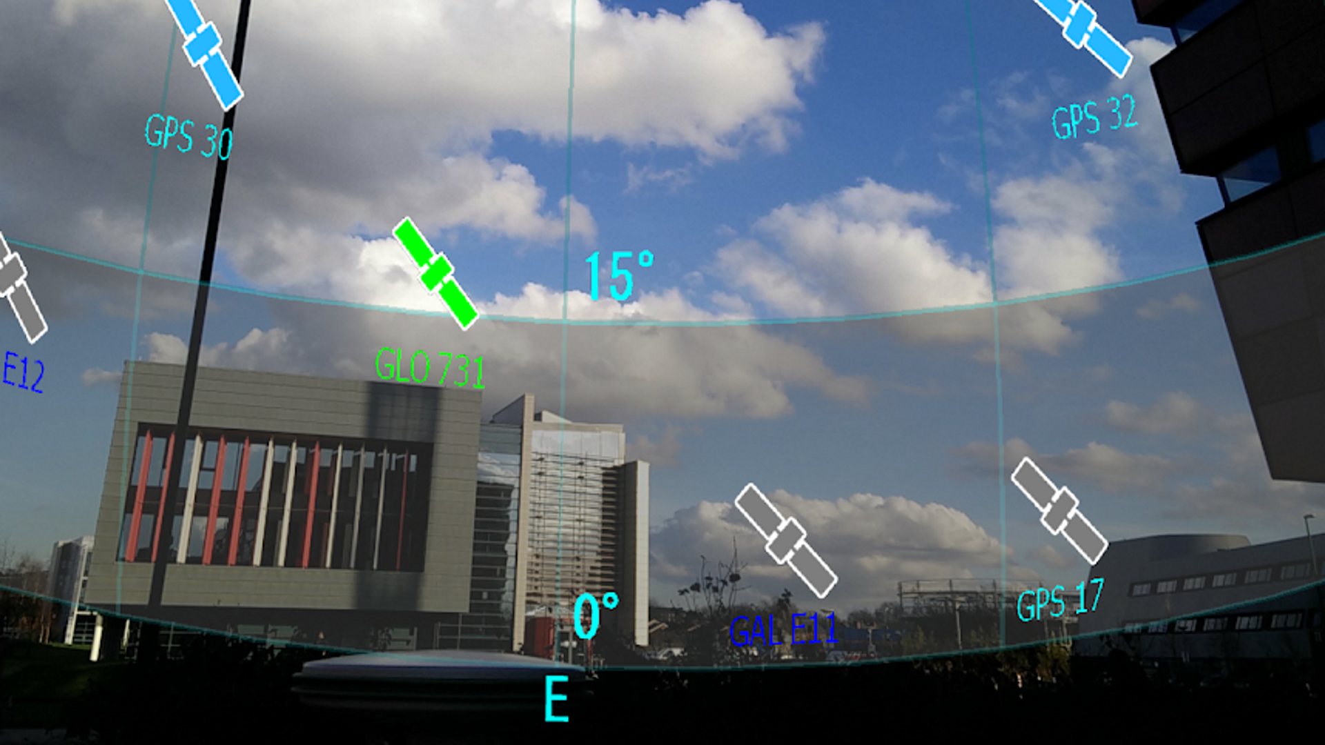
(Image Source: Survey and Mapping Office, Lands Department, The Government of the Hong Kong Special Administrative Region)

(Image Source: Survey and Mapping Office, Lands Department, The Government of the Hong Kong Special Administrative Region)